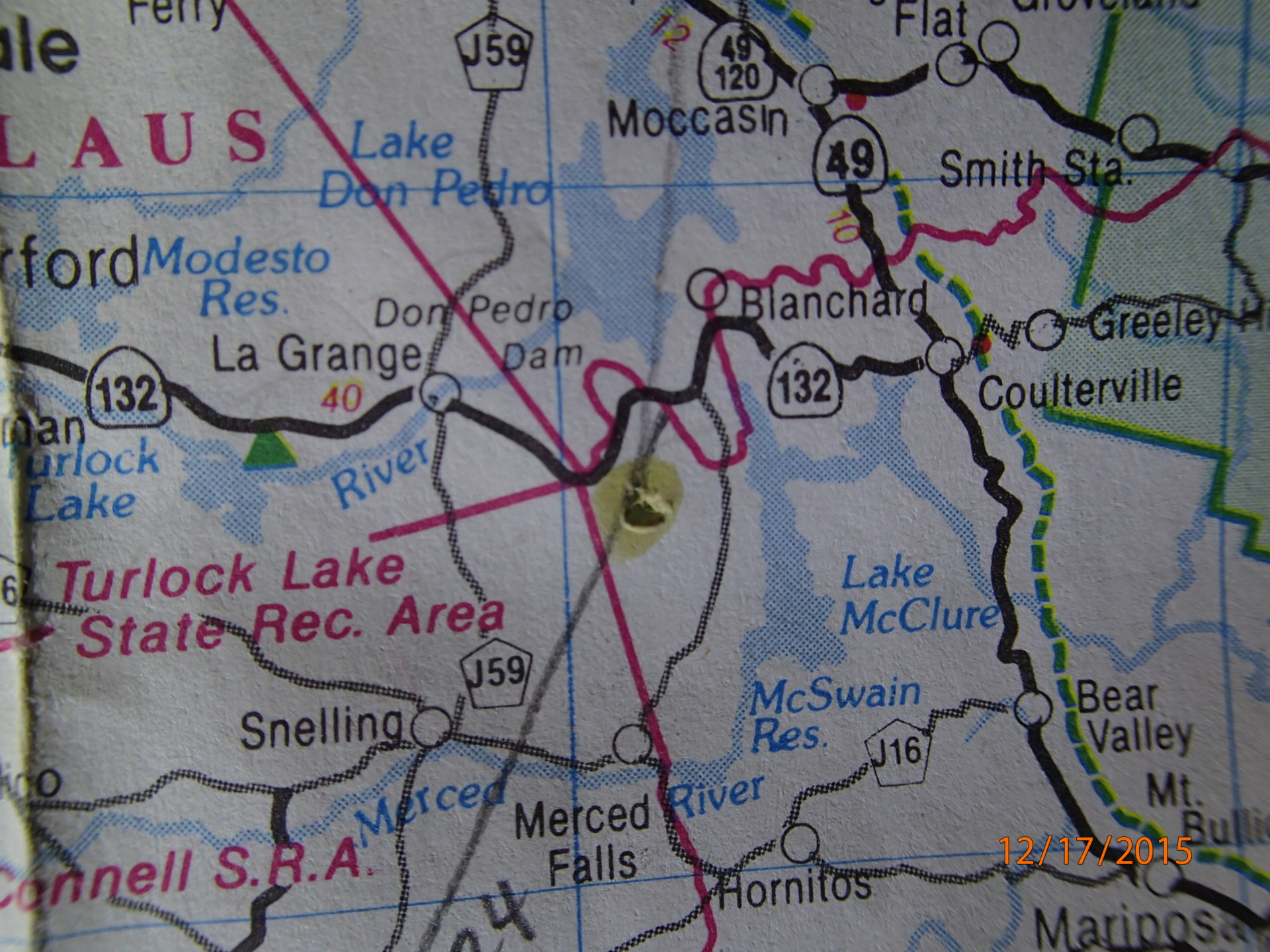
Maps have fascinated me since being introduced to them many years ago as a kid in the Boy Scouts. Prior to adolescent boots scampering all over unfamiliar territory we were encouraged by leaders to “be prepared” for upcoming outdoor adventures by first studying the area via paper maps.
GOOD OR BAD INFORMATION
Obviously, understanding and appreciating where you physically occupy space could be a positive or negative realization depending upon the particular circumstances of your query. [“Alright – we’ll make it to the next gas station” or, in the alternative, “Oh crap! We missed the trail by at least three miles”]
Recently while exploring some areas on Google Earth I discovered a new map (March 2014) was available from the Department of the Interior, Bureau of Land Management, documenting Federal Wilderness Lands in California. Sure sounded like an exquisite addition to my collection, but where to hang such a monster?
MADE SOME ROOM
Yup, a 54” x 62” chunk of paper takes considerable wall space but I eventually located the perfect spot with adequate lighting and room for “study movement”. Removed what was already hanging there, secured my new prize to the wall with some push pins and stepped back to view the image – what a beautiful depiction of the land and management jurisdictions within our state. Naturally the first place to check out was our local vicinity which has always been quite easy – find the approximate center of California and look a bit north for two adjacent large bodies of water and ….
SOME KIND OF BIG MISTAKE?
Initially I was astonished that such a monumental mistake could have been made on such a beautiful up to date map yet almost simultaneously that question, [of whether a mistake had been made], was answered given the reality of McClure’s current non-existence.
“Where the heck is Lake McClure – is this some kind of mistake?” he muttered to himself while admiring his enormous new wall map.
NO MISTAKE DUMB ASS – JUST REALITY
That’s right – technically it is no mistake because Lake McClure no longer exists as a large body of water next to Lake Don Pedro {Reservoir-whatever}. Only the name LAKE McCLURE, photos/videos, and our memories remain – and on my new map not even the name is documented.
Other questions precipitously cascaded and flooded into my pool of swirling thoughts….
Will maps of California ever again illustrate and print the name Lake McClure?
Will I be blessed to live long enough to see McClure rise to full capacity?
How many years of above average snow packed mountains will it truly require?
Will the trickling Merced River once again roar with tremendous power through granite canyons, fill McClure, provide vast amounts of agricultural irrigation, environmental holdings and releases, and continue its voluminous journey to the Delta and Pacific?
Do I really have to go to the bathroom now?
My best to you and yours, Lew

WHERE IS LAKE McCLURE? Good question Grasshopper.


