MARCH 20th, 2016:
UPDATE: NEW INFORMATION RE CALIF PUBLIC UTILITIES COMMISSION APPROVAL OF SIERRA TRANSFER TO LDPCSD –
DESCRIPTION OF SERVICE BOUNDARY CLEARLY STATED IN APPROVAL.
DISTRICT HAS MISREPRESENTED THE LEGAL SERVICE BOUNDARY FOR OVER THIRTY YEARS TO THE 99% OF LEGAL CUSTOMERS!
CPUC IDENTIFIES LDPCSD SERVICE AREA
March 16, 2016. Just created this “START PAGE” for research into our DISTRICT FORMATION but need to get moving outside, so I’ll be adding to it later. Not sure if all this stuff is easy to follow or not? Geez I hope so. 1542

 ___________________________________________
LEW NOTE: Here are links to the above referenced material.

“EXHIBIT A” LDPCSD SERVICE BOUNDARY [REFERENCED IN BOTH COUNTY APPROVALS]
“Exhibit A” sure isn’t helpful for the non surveyor/engineer, huh? LOL 🙁

Here is the list of available Resolutions/Ordinances that the LDPCSD provided for 1980:


<CREATE B-3 page/INSERT
<CREATE B-4 page/INSERT>
This is what happens with both B-3 and B-4 files when printing is attempted multiple times with various methods (direct print or “cut and paste” in Word):


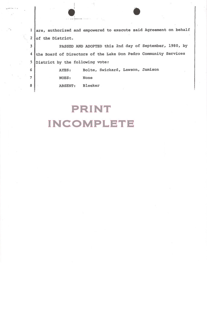




FINALLY gave up (wasted enough paper and ink) and decided to take the best print of each page and re-type the missing information myself so you can read the whole document. Can you believe this garbage? Heck, even if the files would print correctly they are certainly not what is referred to in Sierra’s PUC Application for transfer and assignment of its property to the LDPCSD. Nothing is signed or certified yet these are the files provided as “public information” regarding the legal FORMATION of this district? Good Grief Charlie Brown!
OK, let’s piece together Resolution 80-3:


Alright, one down and B-4 to go! (Sounds like a “BINGO Resolution” game – but not so LOL when supposedly dealing with official records of our District’s formation as a public agency.) Listen, I MUST GET OUTSIDE AND DO SOME WORK! I’ll get back ASAP! Lew
Since the second page of 80-3 worked with “cut and paste” I tried with 80-4 and got a good print using Word. [Don’t know about you folks but this computer stuff is pretty frustrating at times!]:
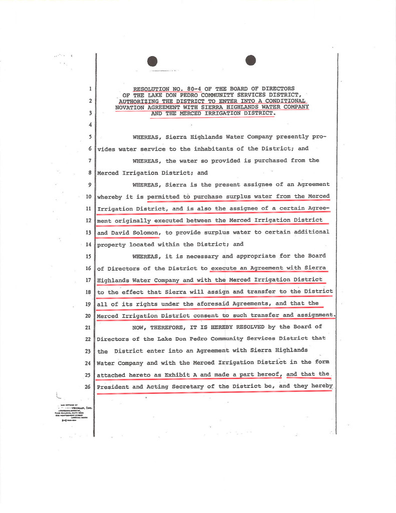

This was the “SOLOMON AGREEMENT IN SIERRA TRANSFER” remember? OK, so that’s EXHIBIT B.

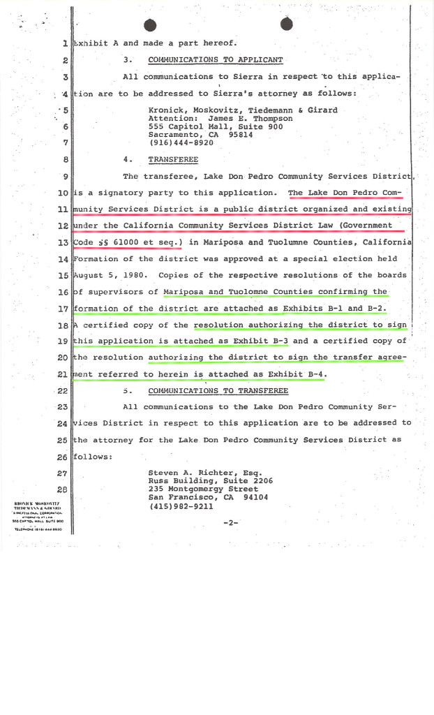
“….A CERTIFIED COPY OF THE RESOLUTION AUTHORIZING THE DISTRICT TO SIGN THE TRANSFER AGREEMENT REFERRED TO HEREIN IS ATTACHED AS EXHIBIT B-4”?
LEW doesn’t think this qualifies. What do you think?
RESOLUTION 80-2 A LITTLE CLOSER….lol

Yes closer but no cigar. RESOLUTION 80-2 seems closer to the description in EXHIBIT A which refers to the PUC Application for SIERRA transfer of property. Recall that the surveyor’s description of the LDPCSD service area was also referred to as EXHIBIT A! Seems these FORMATION RECORDS were created with files from different sources and/or purposes. Sorting through multiple “EXHIBIT As” and “EXHIBIT Bs” etc., is ludicrous. No wonder the district has experienced such difficulties for decades. Where are the correctly approved Formation Documents?
Regardless, the above document is still not properly dated, signed by the parties or CERTIFIED as described in the PUC Application for transfer of facilities and assets by Sierra Highlands Water Company to the LDPCSD.
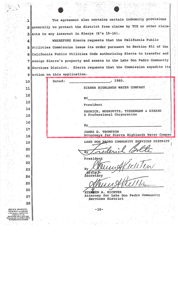
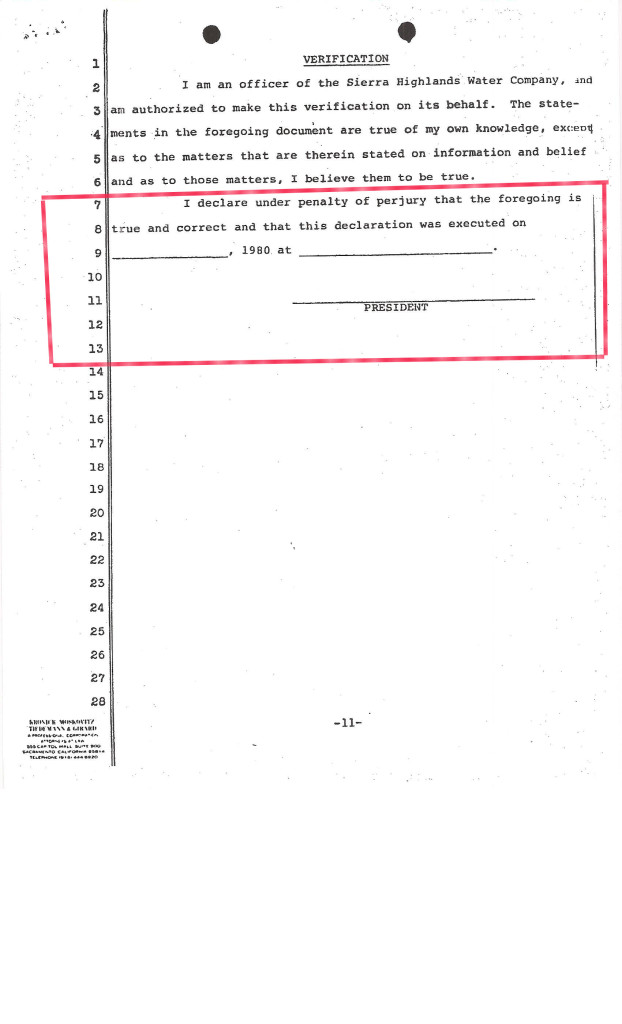
—–CONTINUE SIERRA PUC APPLICATION—–
_____________________________________________________
—–HELLO IT’S LEW AGAIN!—–
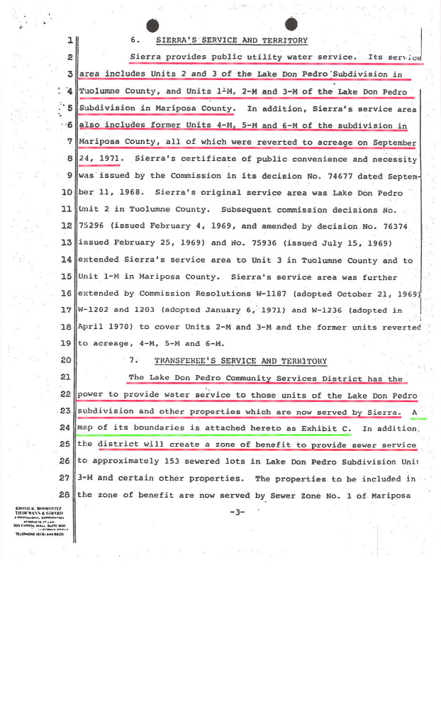
SO FINALLY THERE IS SOME GOOD NEWS HERE REGARDING THE SERVICE AREA:

NEW INFORMATION
MARCH 20 2016
RE: CALIF PUC OFFICIAL APPROVAL OF LDPCSD SERVICE AREA:
THE LAKE DON PEDRO SUBDIVISION!
CPUC IDENTIFIES LDPCSD SERVICE AREA
this new 411 makes my earlier comment incorrect
OK, properties receiving water on or before August 15, 1980 when the LDPCSD was formed are specifically included in the District Service area – got it, but the BIG NEWS in the above statement is the existence of a map!
FINALLY!
A MAP OF THE LDPCSD
SERVICE BOUNDARIES!
<CREATE “EXHIBIT C” PAGE MAP OF LDPCSD BOUNDARIES/INSERT>
{Pssst! Guess what? There is no “Exhibit C”}
Attached or otherwise.
Here’s the closest “thing” to a map I could find in the 1980 documents (but I’m going to check through them all once again – CONFIRMED – NO OTHER MAP!):

Here’s a photo of this “map” from the computer screen:
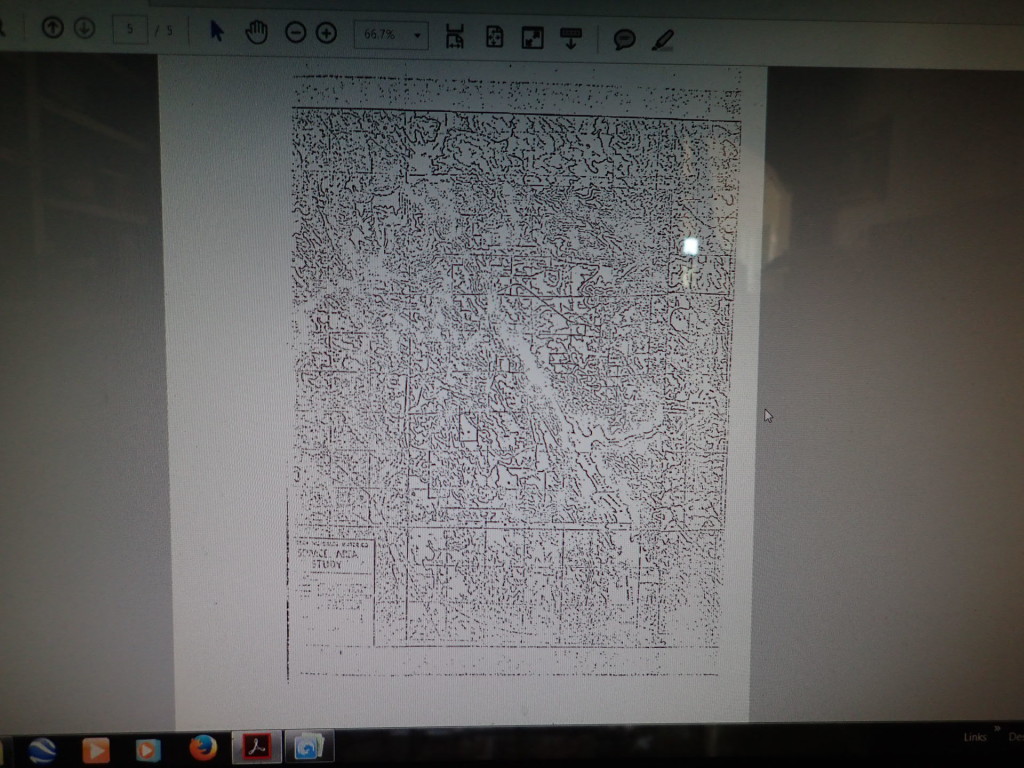
“I fu@%1ng kid you not!”
(Sorry, but sometimes such expressive language is appropriate – lol)
This ridiculous excuse for a map was discovered under
“ADDENDUM No. 2
AGREEMENT FOR SALE OF SURPLUS WATER
DATED MARCH 26, 1968“
Looks like it was copied a hundred times and put back in the file! Not so lol.
What is being concealed here? I think we all know.
This is not Exhibit C.
Gosh, what do you think an Exhibit C might have looked like? Something like the 1978 MID map that is the “official map” on record with the State of California and revised from the MID 1973 Map? Please notice what the map illustrates smack dab in the middle of the subdivision boundary near what would be “Woodstock’s body”? That’s right campers- Sierra Highlands Water Company:

MORE INFO ON THIS MAP:MID 1978 MAP SIERRA HIGHLANDS SERVICE AREA
____________________________________ _______
—–CONTINUE SIERRA PUC APPLICATION—–
HERE LIES A BIG CLUE:
“SIERRA WAS FORMED TO PROVIDE WATER SERVICE TO THE LAKE DON PEDRO SUBDIVISION”
LOCATING EXHIBIT E: NOT FOUND YET
___________RESUME RESEARCH REPORT HERE__________
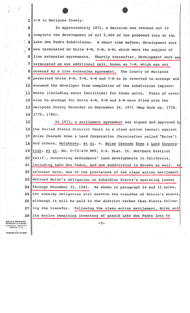

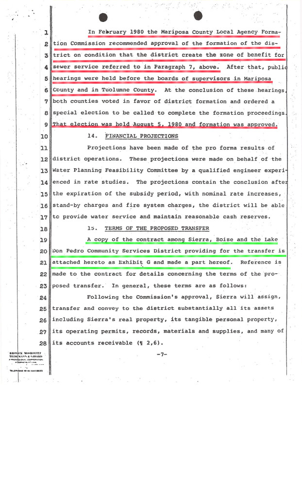
INSERT EXHIBIT G: NOT FOUND YET


