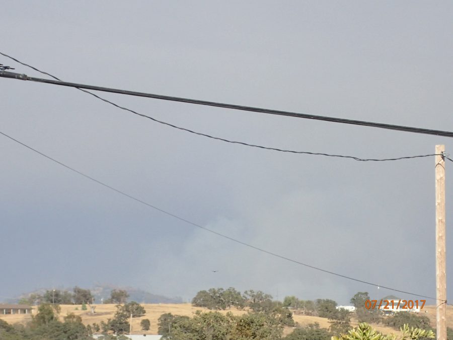
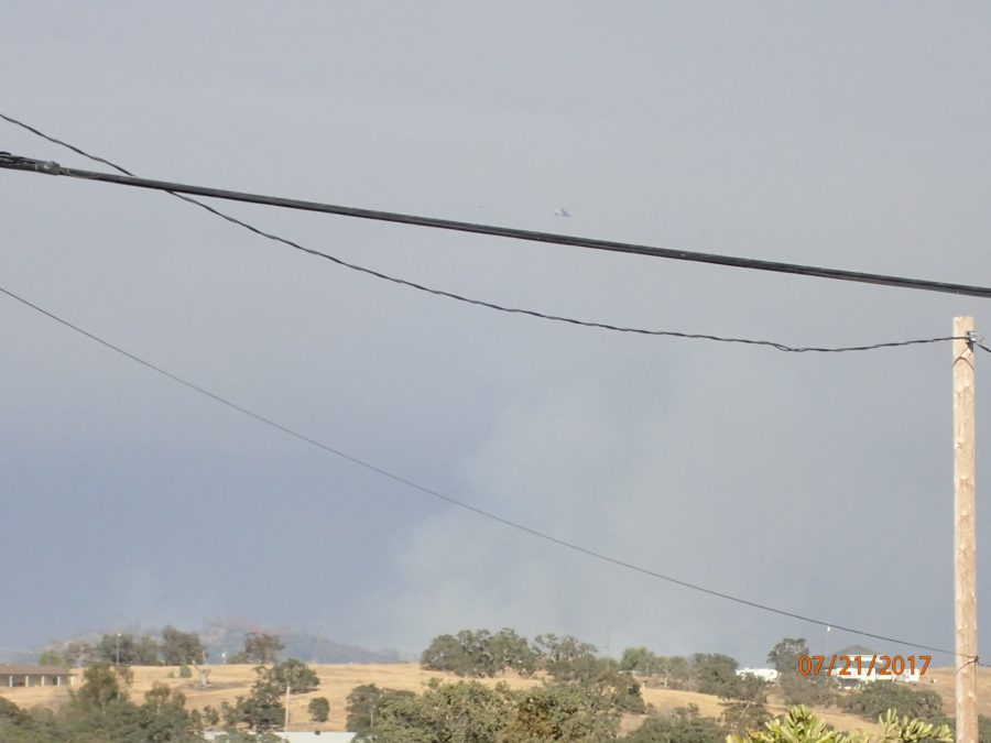
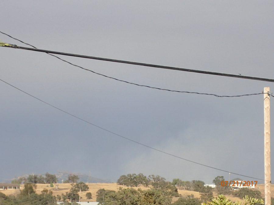
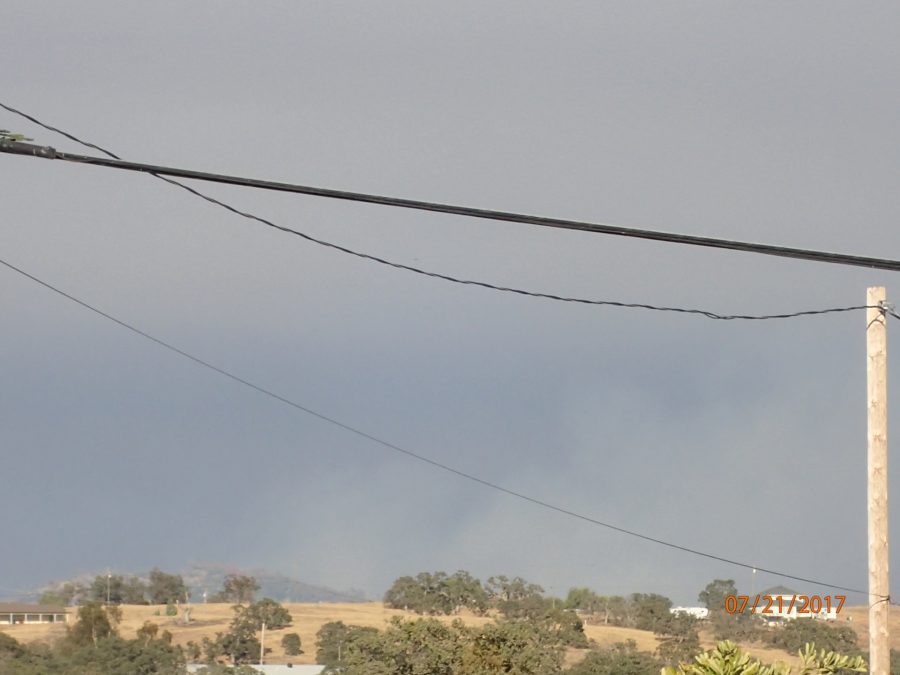
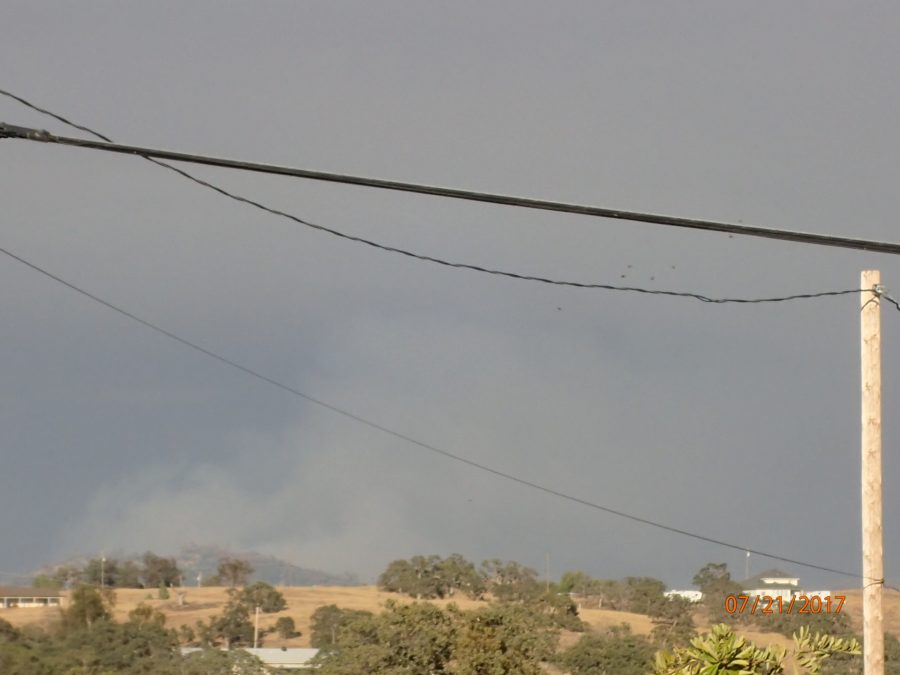
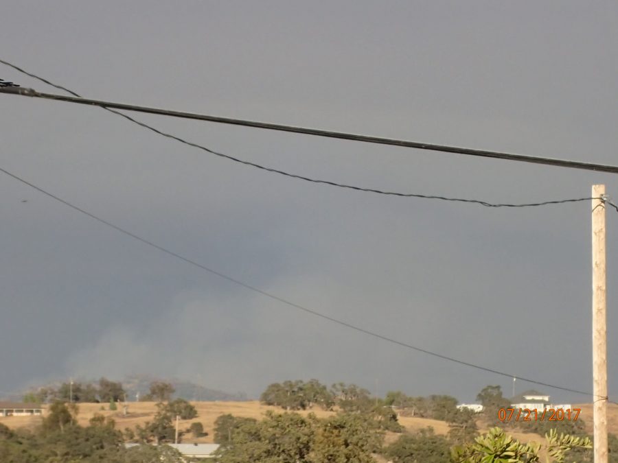
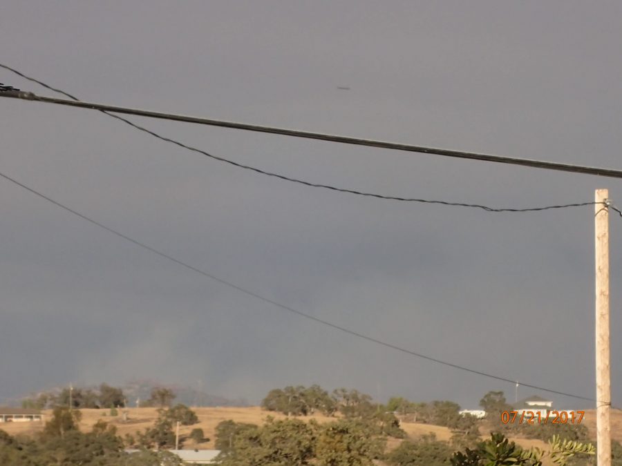
Forgot I shot this yesterday….156 interval images @ 1 minute apart looking towards Hunters Valley Mountain as the smoke was drifting to the south.
Flipping through the 156 on the computer I noticed the below. Can you see an aircraft in each of the below images?
(BELOW) Birds or that flight of several helicopters from Castle ?
Just the ones I could see because there was a heck of a lot more air traffic than that!!!
______
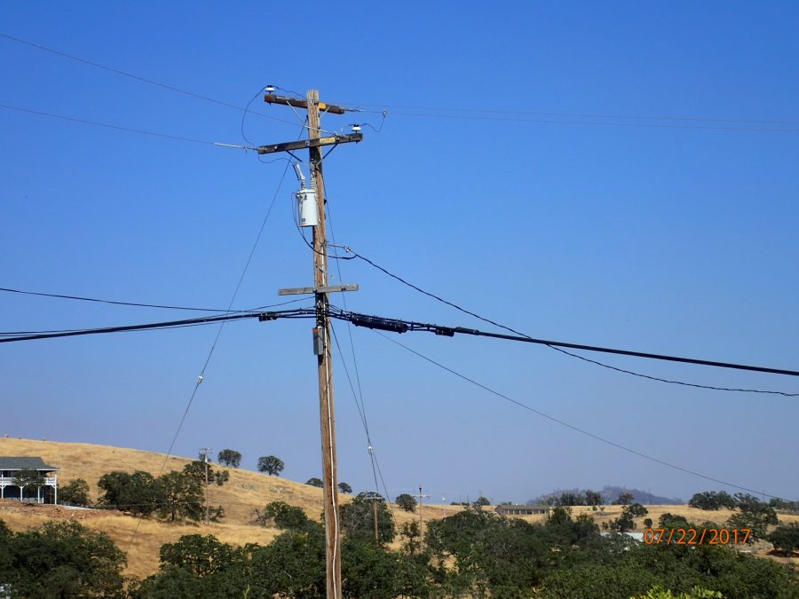
Sat July 22nd, 2017 approx 1600hrs: Looking towards Hunters Valley Mountain (above left of date stamp)
BELOW
Approx 1600hrs /apparently a smoke column NE (between 60-70 degrees) in background over white house (Hunters Valley Mountain is to the right outside image)
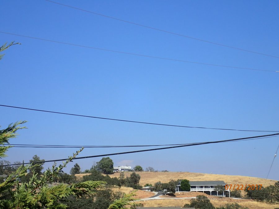
SAT, July 22nd, 2017 @ 1550hrs
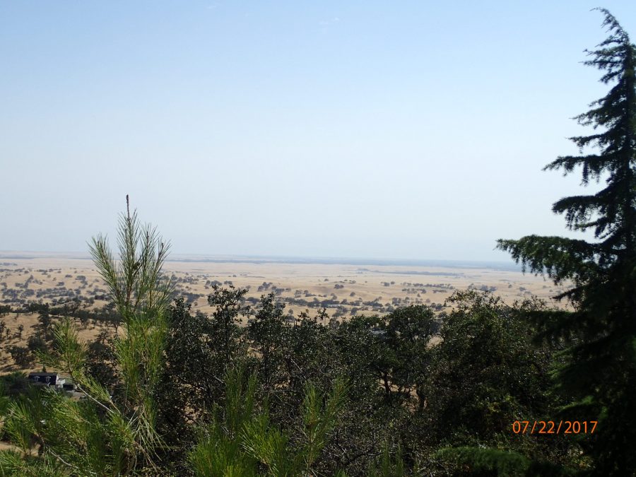
Looking towards Merced, CA
(BELOW)
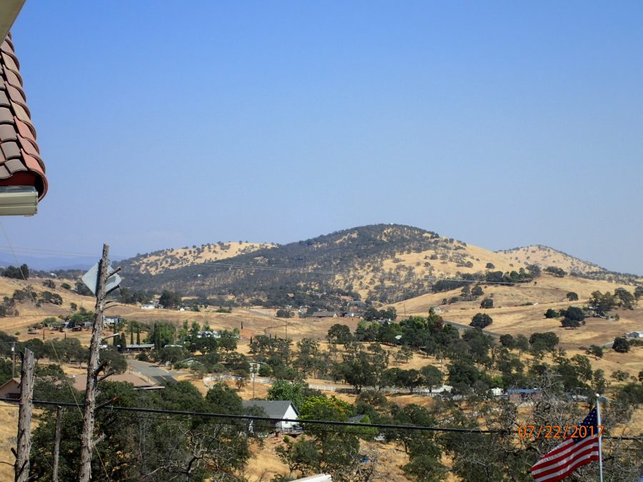
LOOKING TOWARDS MARIPOSA, CA
(BELOW)
CALFIRE UPDATE 1330 hrs
1546HRS:
30% was fantastic news and judging by the increased visibility in this area (although hardly representative of what may be going on miles away) I am apprehensively (such fires have many twists and turns) optimistic that percentage (30%) will increase with the next official CALFIRE update. Let’s pray it does. Thank you all for your service.
CALFIRE: DETWILER 30% Contained


