


<CALFIRE 7/23/2017 UPDATE>
SAT, July 22nd, 2017 @ 1550hrs
(BELOW)
CALFIRE UPDATE 1330 hrs
1546HRS:
30% was fantastic news and judging by the increased visibility in this area (although hardly representative of what may be going on miles away) I am apprehensively (such fires have many twists and turns) optimistic that percentage (30%) will increase with the next official CALFIRE update. Let’s pray it does. Thank you all for your service.
CALFIRE: DETWILER 30% Contained
FRIDAY 7/21/2017 @ 1100hrs: CALFIRE/KCRA CH3 reports: 58 homes destroyed, 11 homes damaged, 60 other structures lost, 15% containment with 74,083 acres burned.
<CALFIRE INCIDENT REPORT >
___________
LOCAL UPDATE:
___________________
NOT LIKELY. OK.
STILL PROBABLY NOT LIKELY BECAUSE
\ THE SUBDIVISION IS QUITE A DISTANCE AWAY….
HOPE FOR THE BEST – PREPARE FOR THE WORST.
_____________
Thurs/July 20th, 2017 @ 0830hrs: Just heard on KCRA CH3 television news: +70,000 acres, 45 structures destroyed (unknown number of residences), 10% contained and over 3,000 personnel working to stop the Detwiler Fire.
______________________
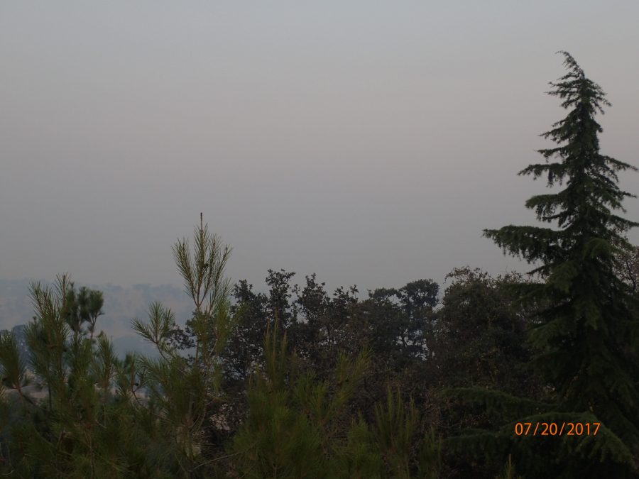
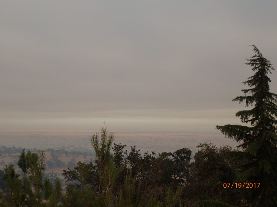
THURSDAY July 20th, 2017 @ 0745 hrs
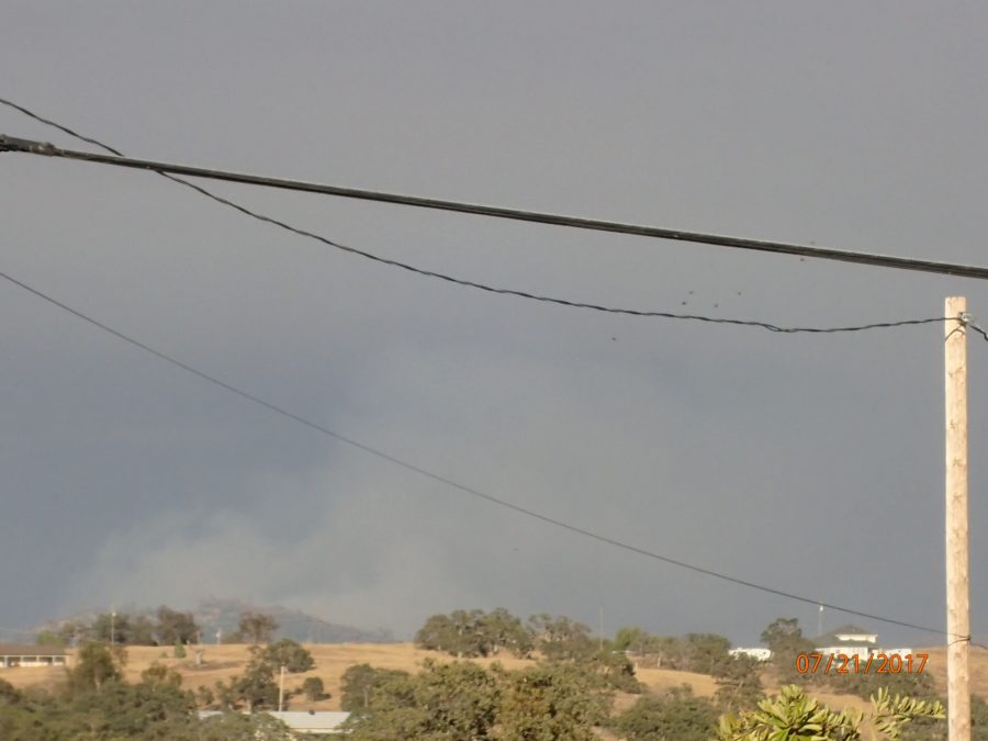
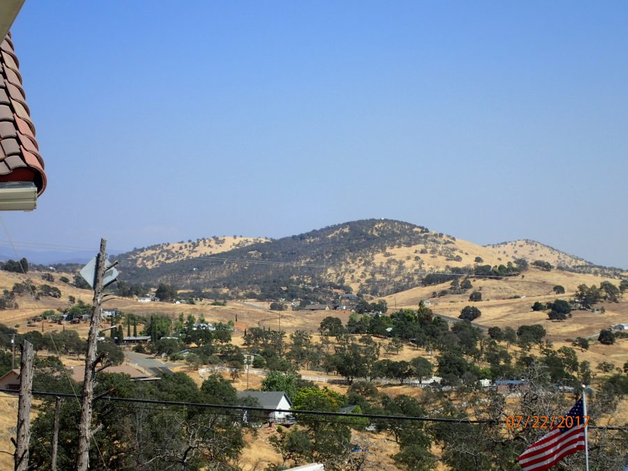
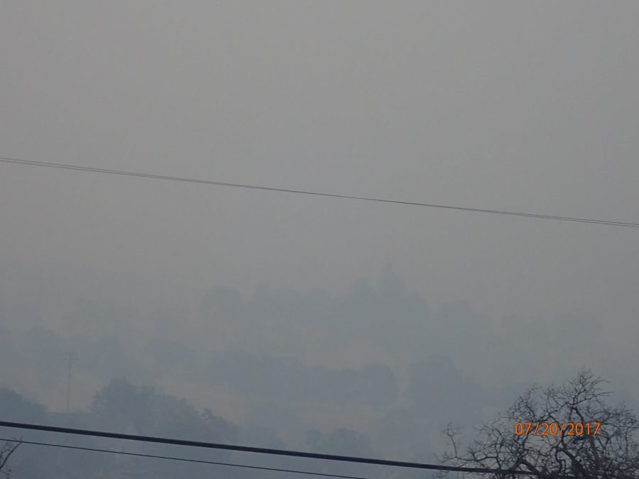
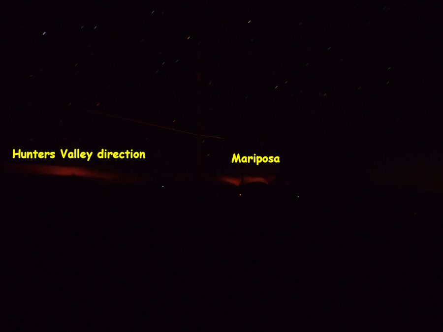
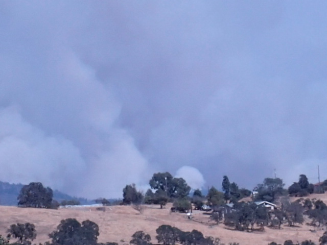
BELOW: From the Lake Don Pedro subdivision looking Southwest towards Merced
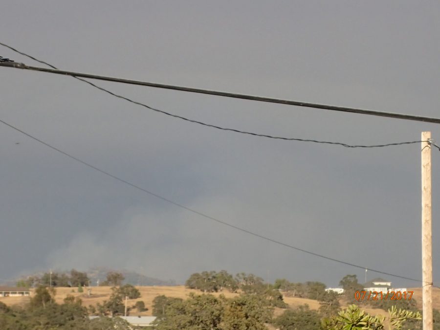
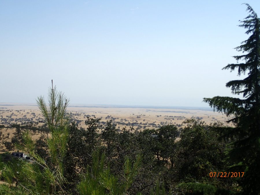
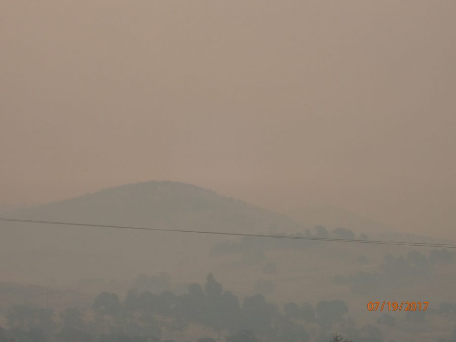
LOOKING TOWARDS MARIPOSA (Southeast)
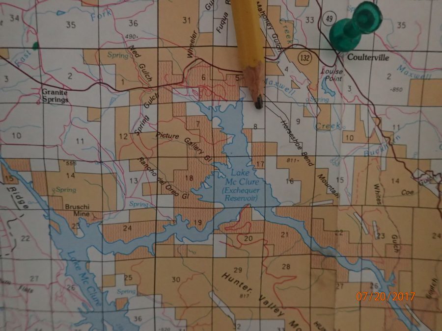
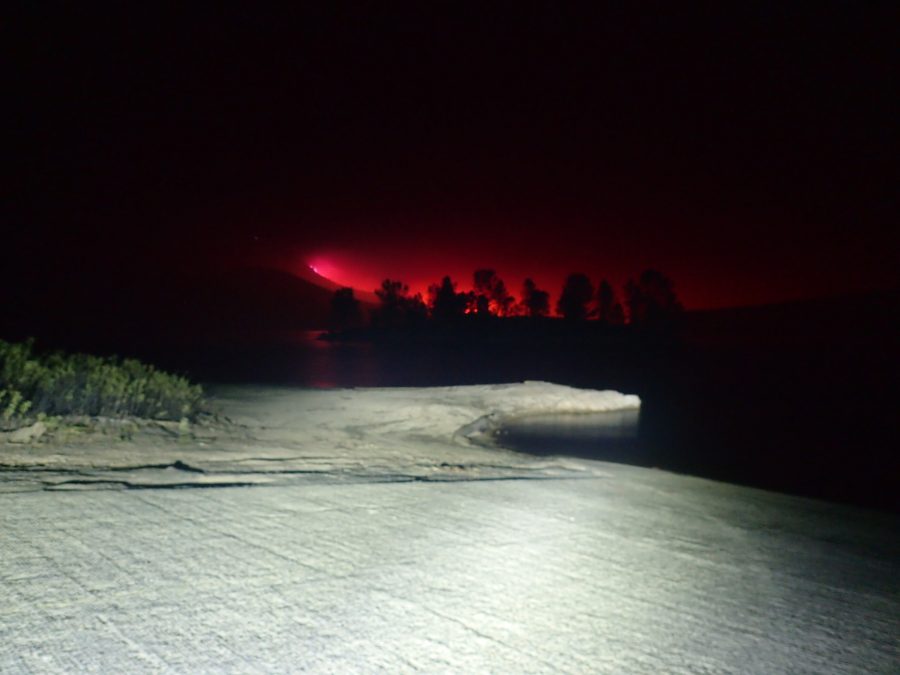
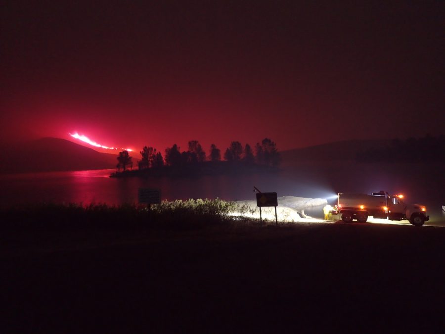
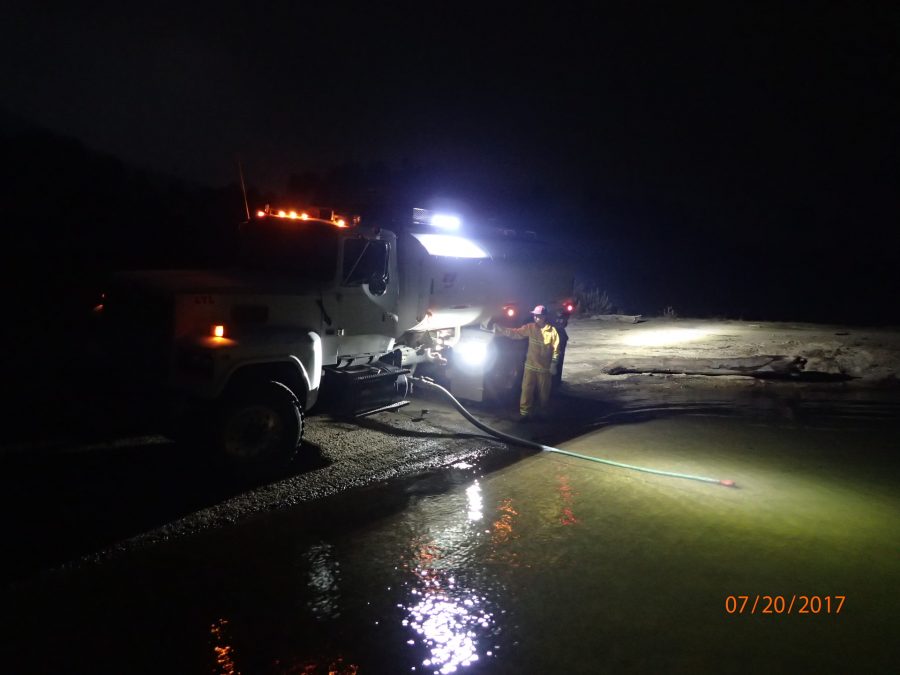
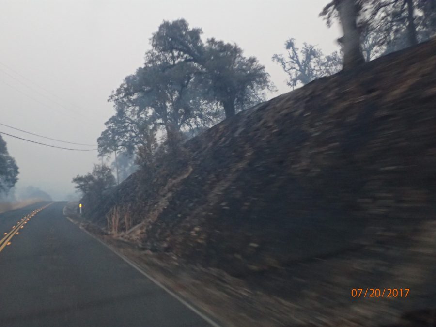
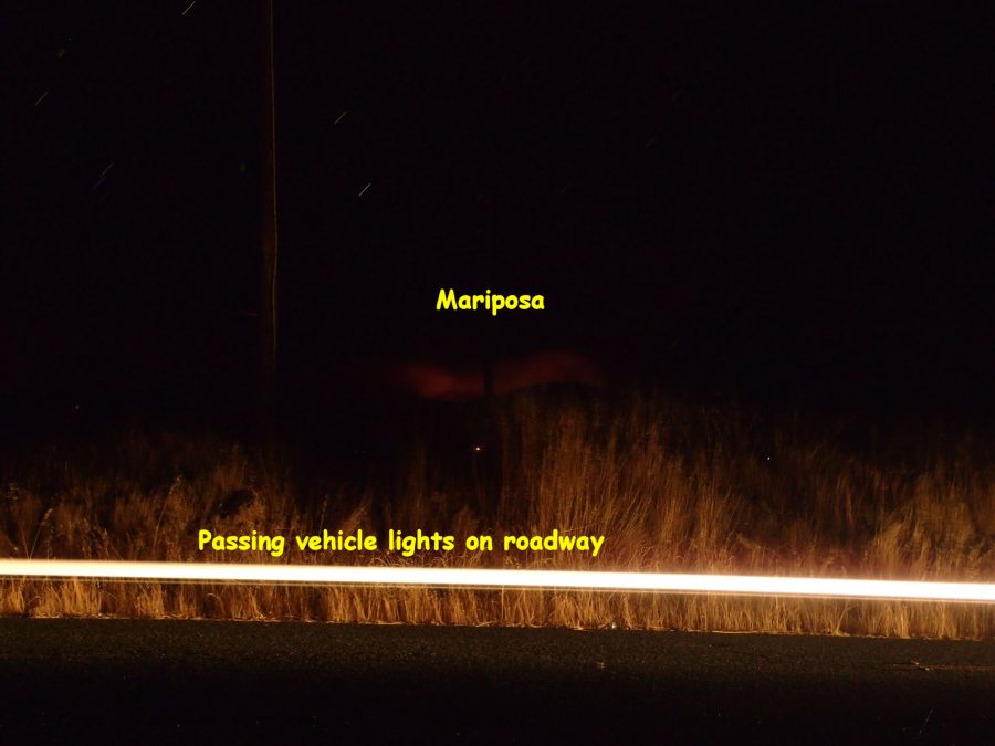
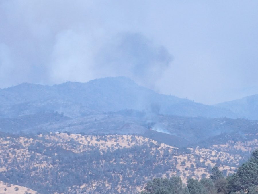
THURSDAY July 20th, 2017 @ 0620hrs – Just returned home after a short “field trip”. The photo below was taken from Alamo Drive in the subdivision looking towards Coulterville:
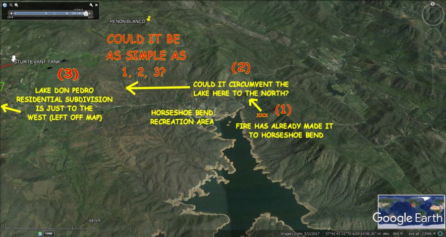
Looked like it was around the HORSESHOE BEND area of Lake McClure – so took a quick trip up HWY 132 to check it out. Yup, CHP had 132 closed right after the right turn into Horseshoe Bend so I pulled in to see if there was any view of the fire.
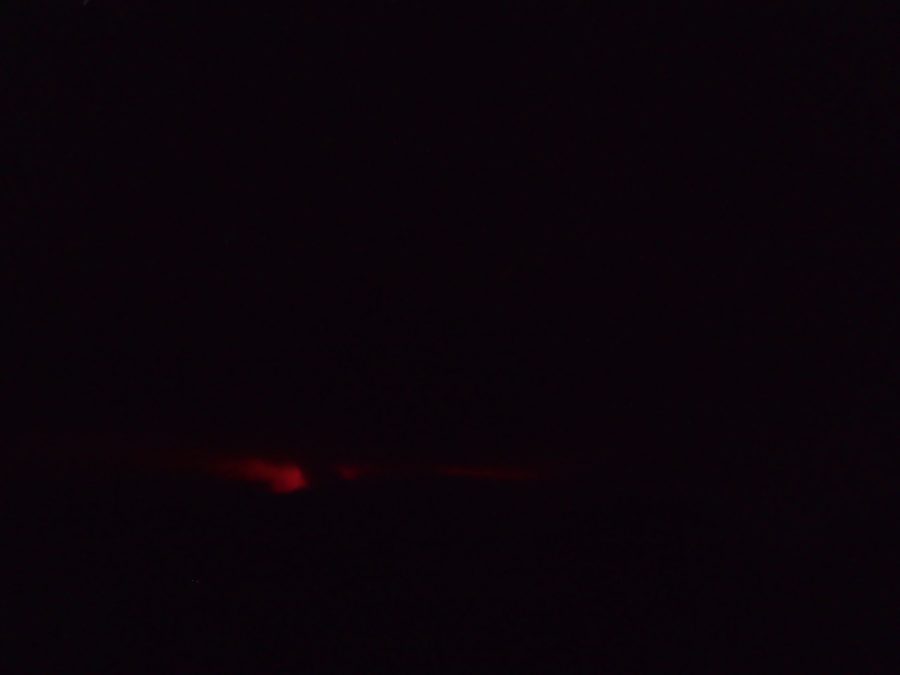
BELOW: HORSESHOE BEND BOAT LAUNCH AREA/LAKE McCLURE around 0400hrs: Fire was slowly advancing AGAINST THE WIND! Ash was lightly falling like snowflakes – the sound of that roaring fire in the background with an occasional “pop” of vegetation exploding due to the heat was quite a contrast to the rhythmic relaxing lapping of lake waves on the shore.
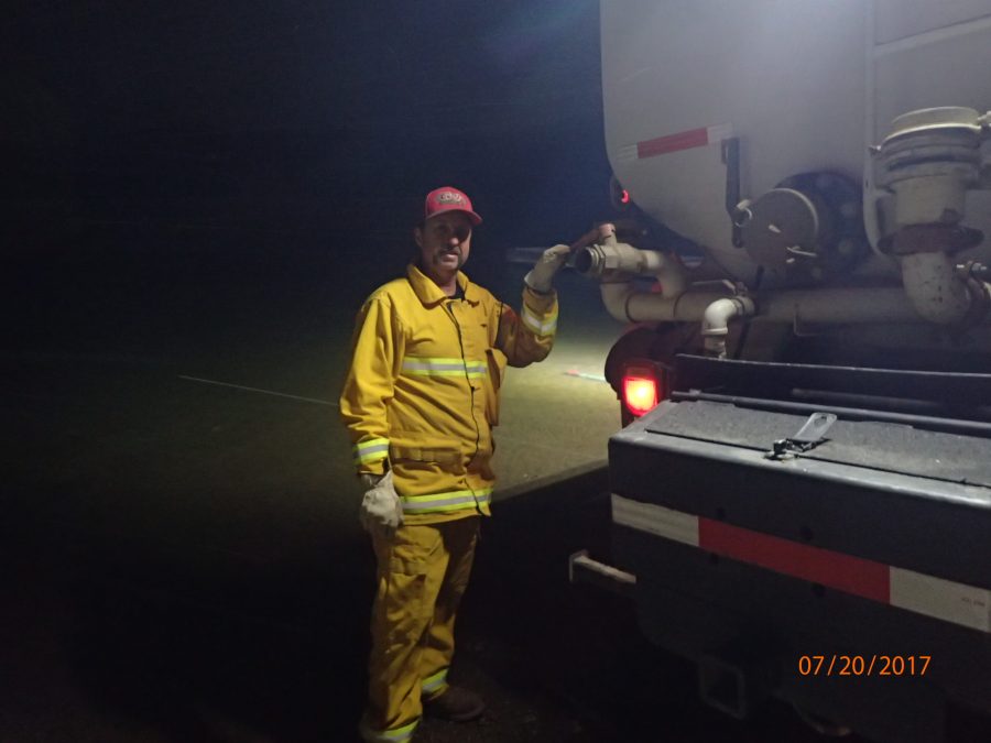
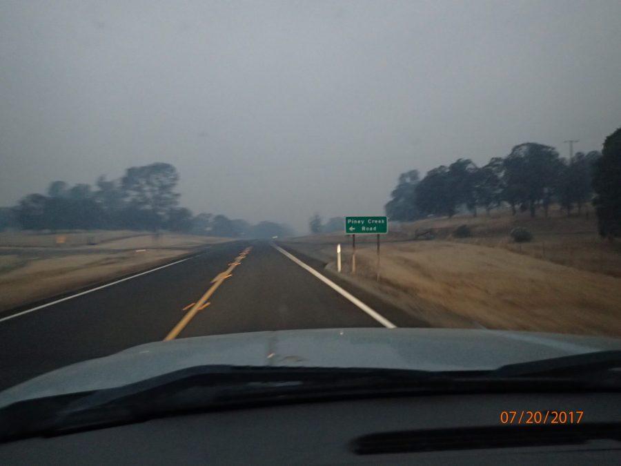
BELOW: Heading back to Lake Don Pedro subdivision via HWY132

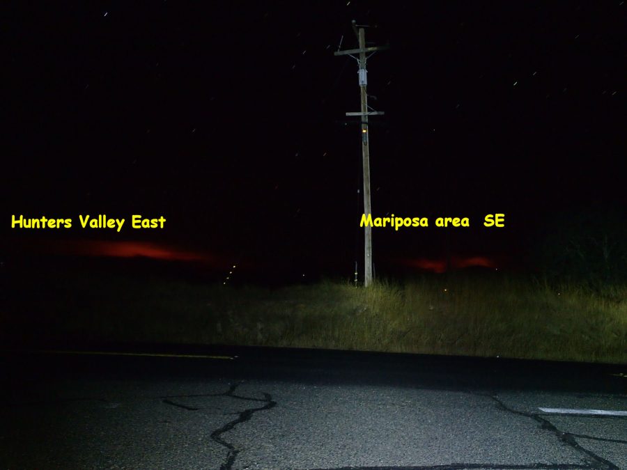
Thursday, July 20th, 2017 @ 0300hrs
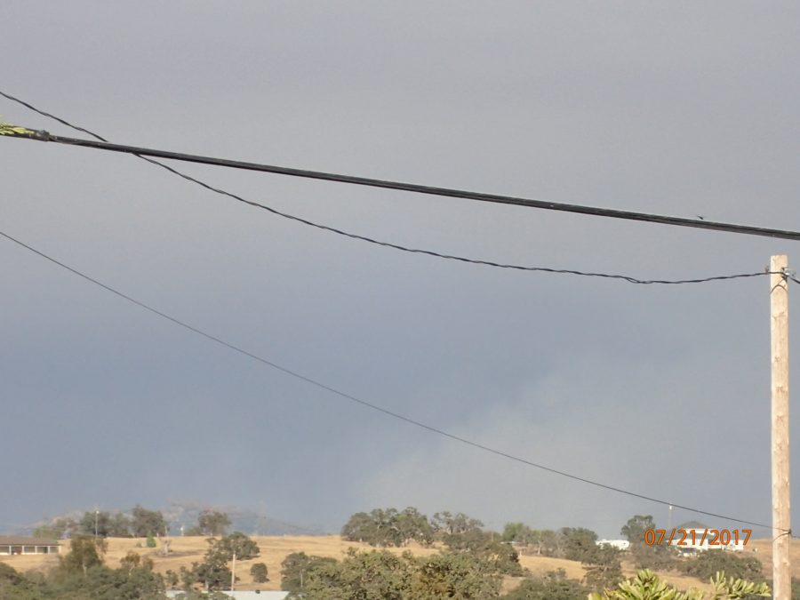
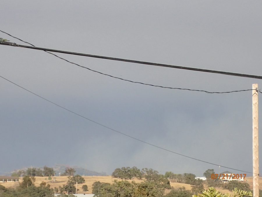
Awoke to heavy smoke again so I got up to close windows. The red glow on the horizon to the Northeast appears larger. Just checked the CALFIRE INCIDENT Web page which reported the loss of more structures.
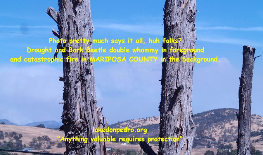
Many years ago while camping up here on my Lake Don Pedro property I woke up in a tent to the smell of heavy smoke from a Yosemite National Park fire in the early hours of the morning. Although I cannot say with any certainly, I do believe this Detwiler Fire is much worse. Outside versus inside difference aside, this seems much worse. Even my eyes are stinging. I cannot imagine what sort of hell lies just beyond those mountains.
PETE KAMPA’S RECENT TRANSPARENCY AWARD

OK, OK….Detwiler, regardless of what the map I had said. Perhaps we’ll find out for sure today?
Woke up coughing this morning as I gave the air conditioning a break last night by leaving the windows open. Probably won’t do that again – much cooler temperature but heavy smoke in the Lake Don Pedro subdivision.
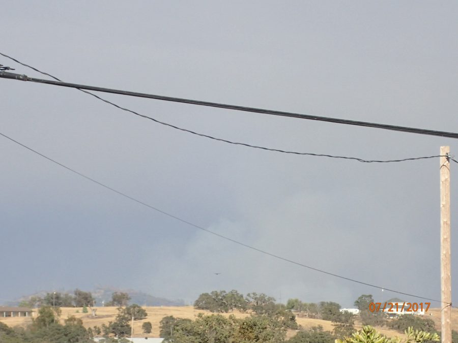
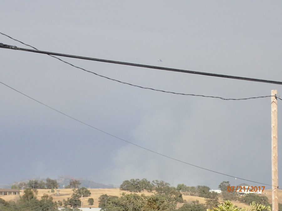
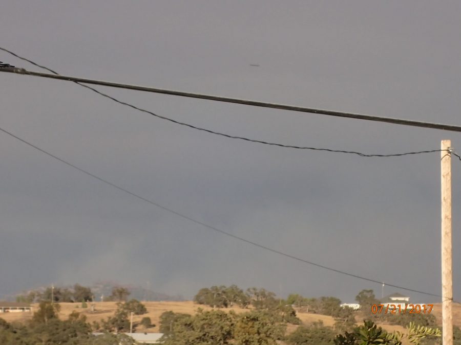
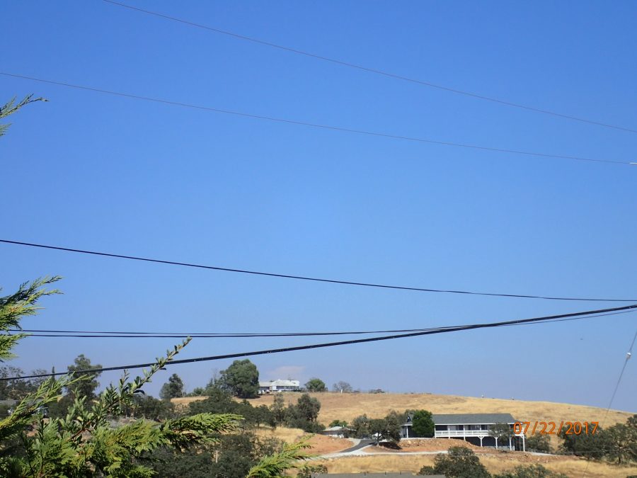
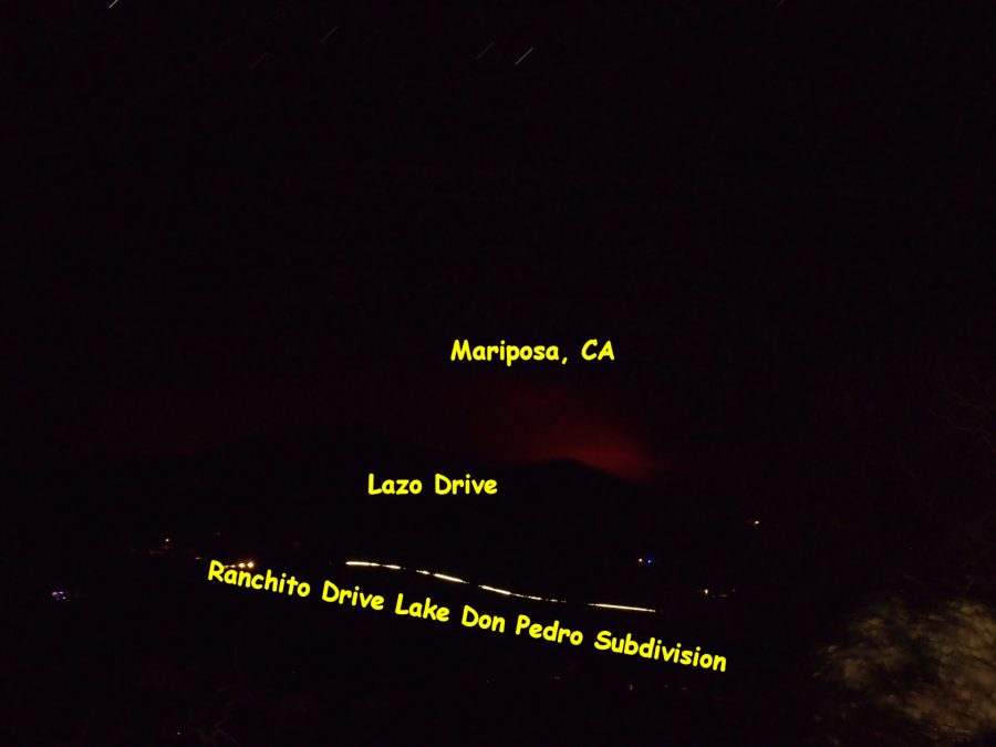
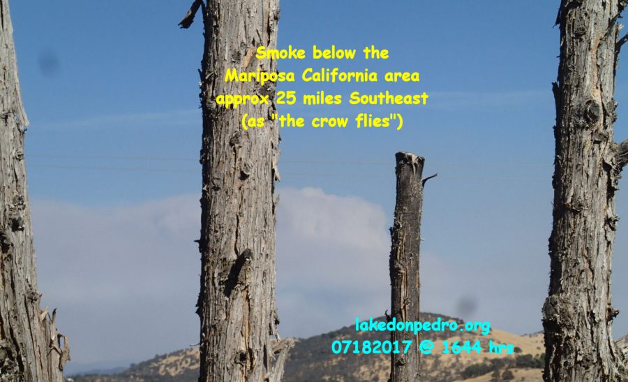
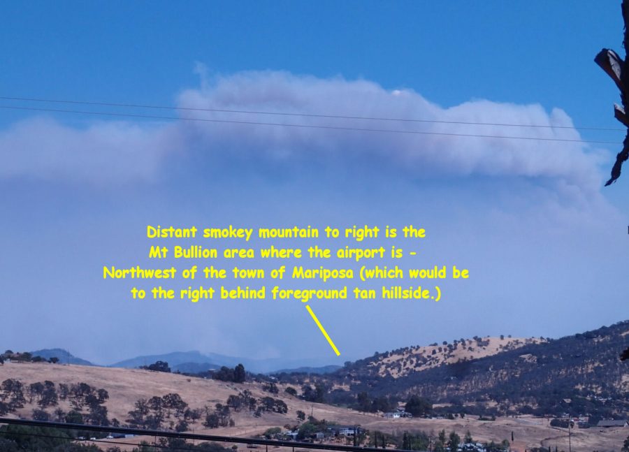
PHOTO BELOW: Looking Southeast towards the town of Mariposa approximately 25 miles away.
That’s the LAZO DRIVE hill to the left above wire, and a bird to the right which will also be subject to visual flight rules today.
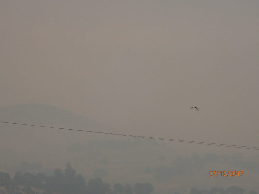
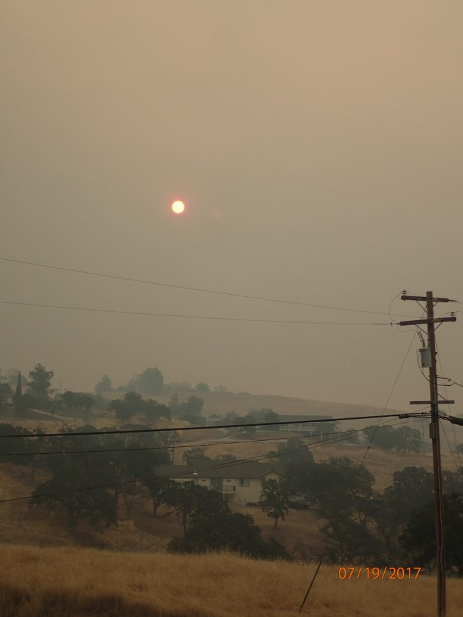
Everyone will be carefully watching the town of Mariposa California today – when and where it can be seen.
My best to you and yours, Lew
______________________
________
KCRA CH3 NEWS VIDEO LINK
______________________________
1711 hrs…..
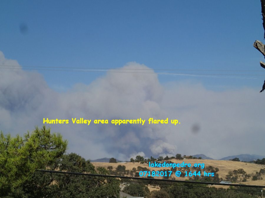
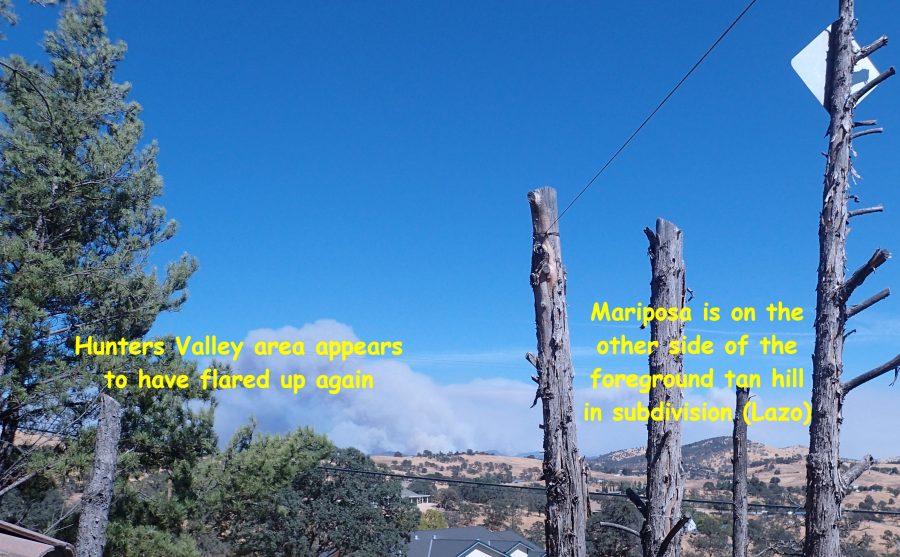
VERY SHORT VIDEO OF HUNTERS VALLEY FLARE UP also taken @ 1644 hrs (NOTE: this is my old Olympus camera with the two obvious dark spots….what the heck! Still works….I’m rotating the cameras so while one is downloading I can monitor the fire with the other.
Wish I could get on the roof easier?????
SHORT VIDEO OF HUNTERS VALLEY FLARE UP
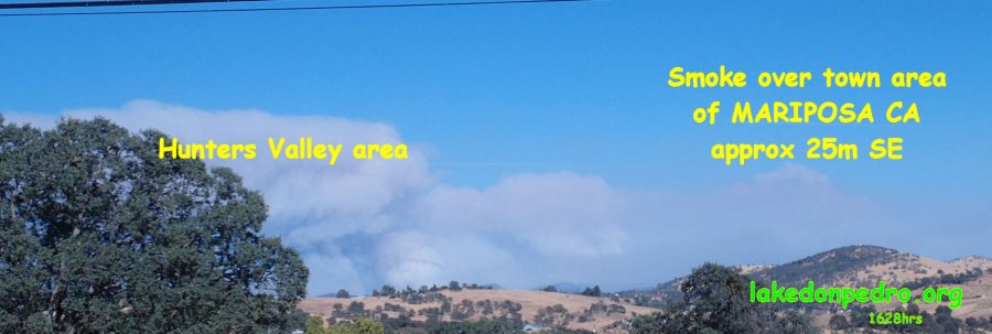
1628hrs
_______________________________
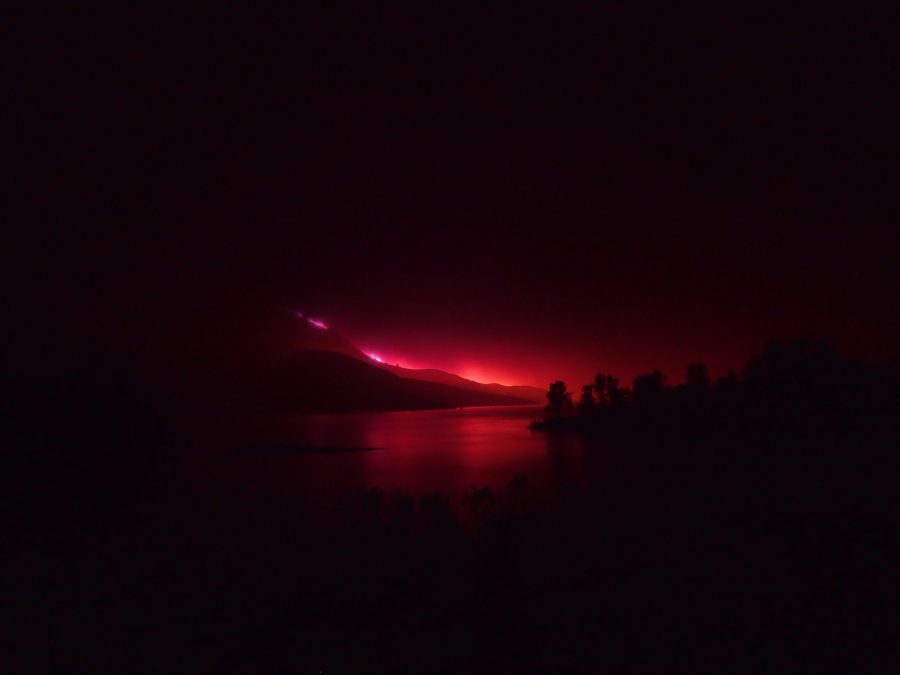
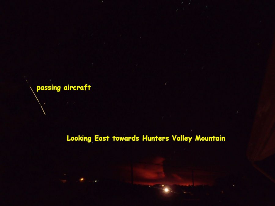
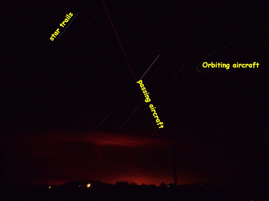
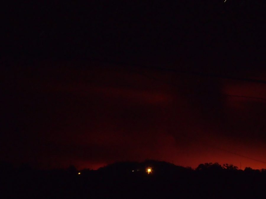
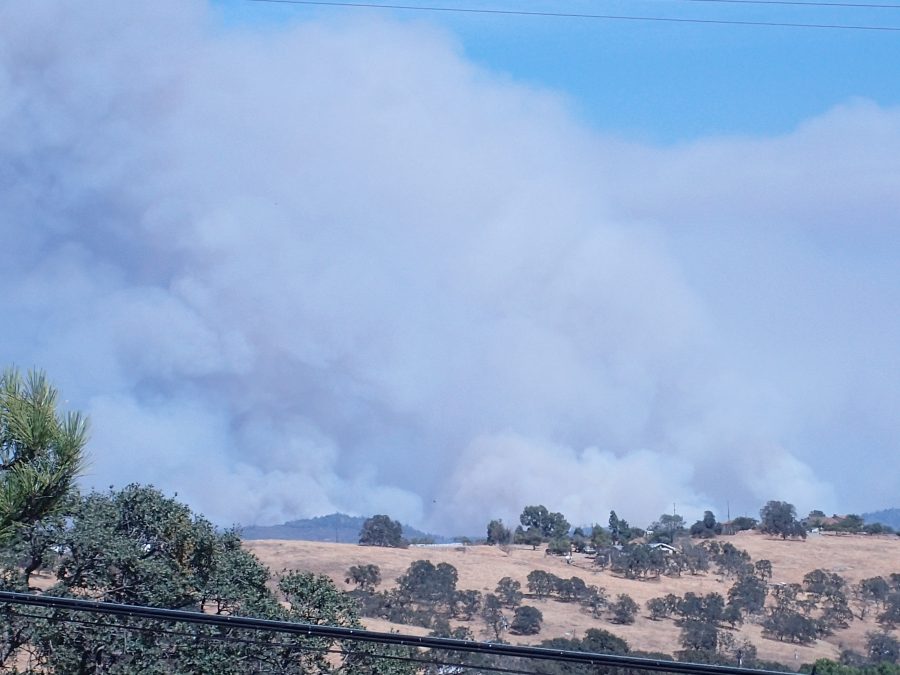
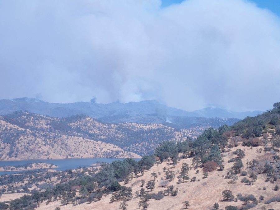
BELOW TAKEN @ 1625 hrs looking east towards the DETWILLER FIRE in Mariposa County California
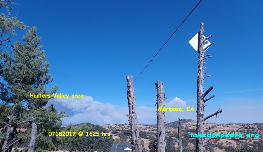
Most recent Tarantu-Rattle image from Lake Don Pedro subdivision (west of Detwiller Fire, Mariposa County)
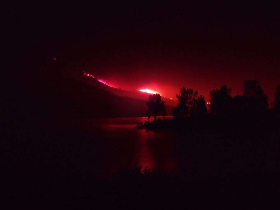
Hunters Valley zoom photo of apparent flare up of fire activity-
7/18/2017 @ 1553 : From LDP subdivision looking easterly
7/18/2017 @ 1522hrs…sorry…UPS stands for Uninterrupted Power Supply (gives you a couple of minutes of “backup battery power” to properly close computer programs during a power outage – or TV, whatever sensitive equipment could be damaged). It really is bothersome to me when folks use acronyms without definition like I just did – sorry but my excuse was impending power failure! lol Just turned off the AC to protect the compressor from potential damage if this keeps up. PG&E is of course swamped with all the fire related outages. The sheriff’s incident report was heavily represented with welfare checks for people and animals. (Naturally my first thoughts are of the human beings affected, but do not forget the untold number of domesticated and indigenous animals running in fear of the approaching fire – if not confined.)
ANYWAY…..
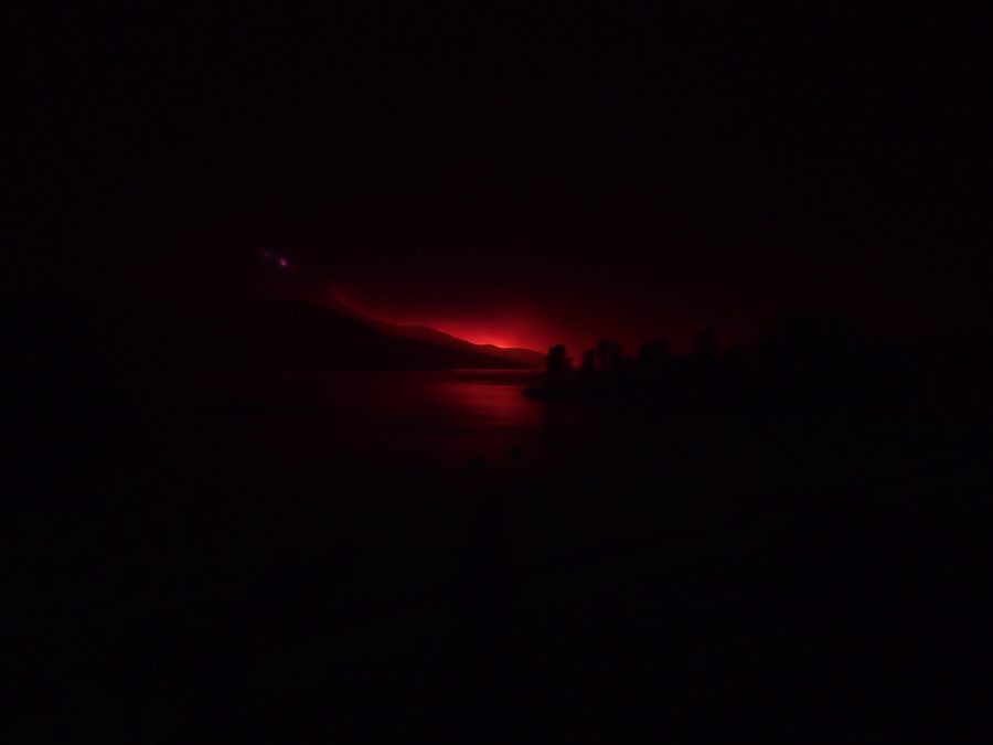
View of DETWILLER FIRE from my place in the Lake Don Pedro Subdivision…..
[OLD POST] …power is flickering now – UPS to computer signaling! 1517hours – later! 1537hrs – power OK so far. Better cook a quick frozen pizza just in case!
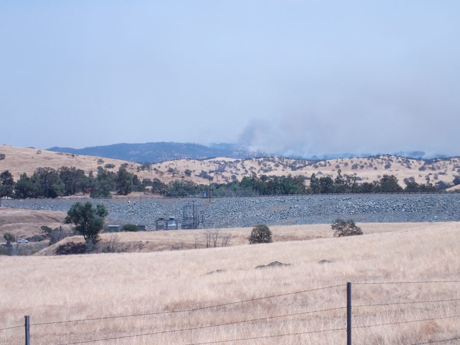
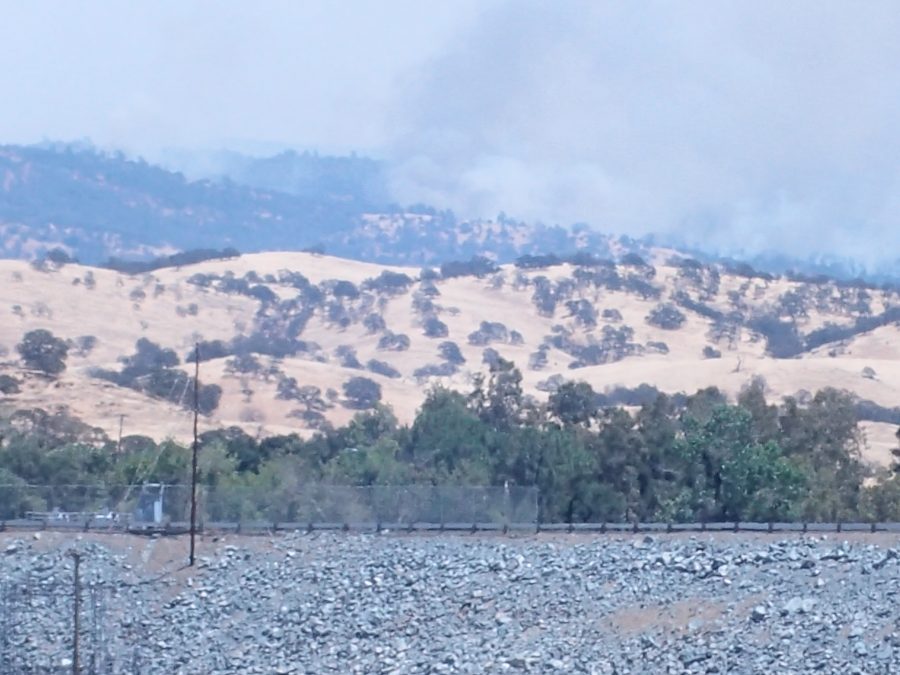
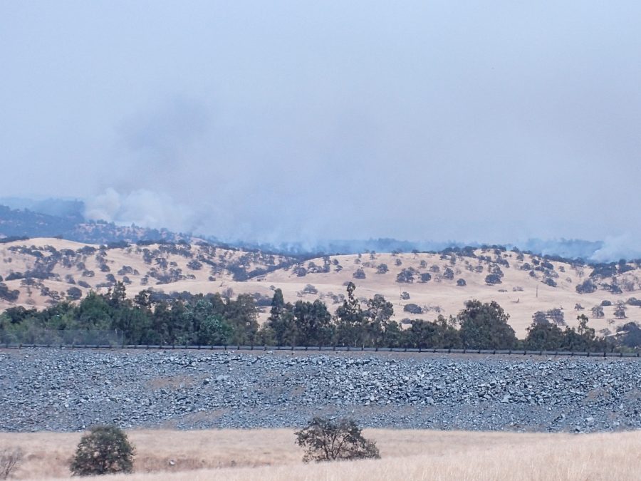
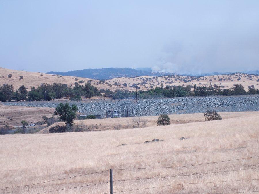
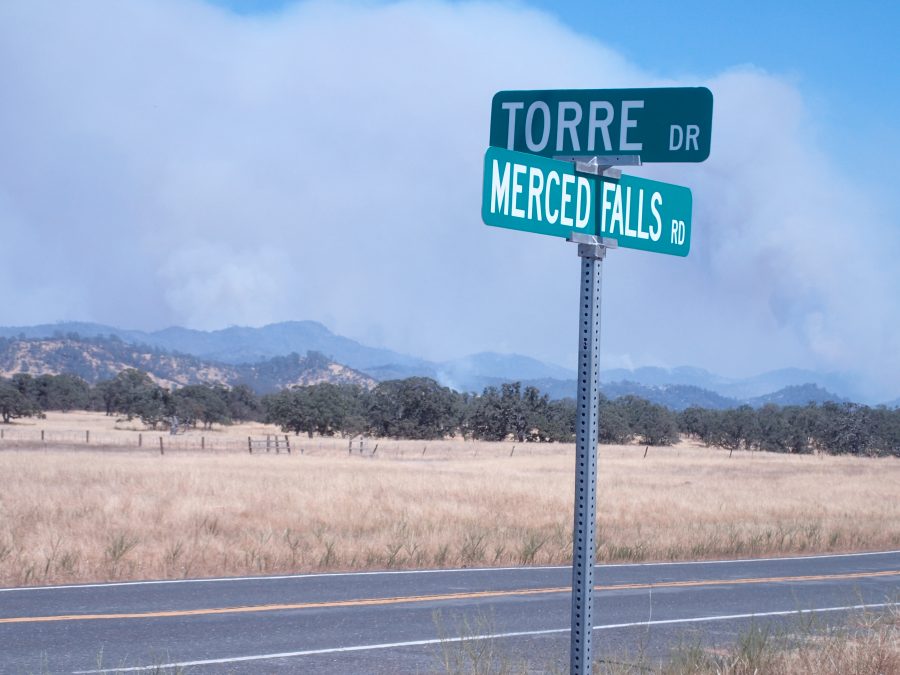
Just got back from shopping. Shot a couple of photos near McSwain Dam / Merced Falls area (other side of Hornitos Road bridge which crosses the Merced River) with the DETWILLER FIRE smoke in the background. Goes to show how deceiving these things can be……thought it looked better than yesterday but it was obviously heading for Mariposa with the wind.

Leanne just advised (and I confirmed on the CALFIRE INCIDENT website) —-the town of Mariposa is under mandatory evacuation (as well as other residential areas in the vicinity. So I don’t get something wrong…..here are some LINKS to news on the DETWILLER FIRE and current evacuations:
<CALFIRE INCIDENT WEBPAGE>
Update: Detwiler Fire 19,600 Acres With More Evacuations Underway
My best to you and yours with special prayers for all those escaping and fighting this extremely dangerous fire, Lew
TUESDAY 7/18/2017: [In answer to my previous question of whether that fire could actually reach this side of Lake McClure]
Having had a better opportunity to see the fire’s location (after yesterday’s LDPCSD meeting from a closer subdivision hilltop roadway), I would say it would be highly unlikely the fire could sweep around to this side of the Lake, however, I have learned to NEVER say NEVER!
15,000 acres and growing with only 5% containment and 300 structures threatened according to the 0600hrs news report on TV KCRA Channel 3 this morning. (One residence lost another damaged.) More firefighting resources will be coming from Sacramento today. A DC10 is being prepared for today’s Detwiller fire fighting efforts at McClellan AFB.
Here are some photos taken yesterday after the LDPCSD Monthly meeting where another EXPANSION IS STILL UNDER WAY.
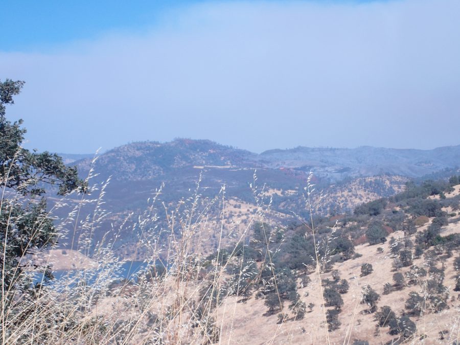
That BEAUTIFUL AND FULL Lake McClure is between the subdivision and the Detwiller Fire (other side of Oak trees in the above photo). The probability of the fire making it over here is very slim, but again…..NEVER SAY NEVER – atmospheric transfer of embers by fire storm winds? Always a better proposition to, if nothing else, be aware of surroundings and prepared as possible for the “unthinkable”.
BEING AWARE IS THE KEY
Too bad directors on the LDPCSD Board do not recognize their continued “selling of our local public agency” [little by little] to a GM with a “for profit special district management company” who has personal and business motivations for such expansion.
(Perhaps with subtle “wink and nod approvals” by otherwise “legitimate government departments and agencies”? That sure would explain the apparent lack of interest and/or action by county and state officials. Is there a far greater water service expansion plan for the LDPCSD developing right under the smoke filled nostrils of MERCED RIVER WATER ENTITLED CUSTOMERS <MR WECs> of the Lake Don Pedro subdivision? Is that why LDPCSD Board Members only appear clueless as to what KAMPA is doing with their incremental, yet continuing, assistance in re-configuring our local public agency into a money making enterprise for KAMPA & KOMPANY and his land development buddies around the Lake Don Pedro residential subdivision?
However, IF SUCH A MASSIVE EXPANSION PLAN IS BEING CONSIDERED IN THE BACKGROUND OUTSIDE PUBLIC VIEW BY THE MAJOR PLAYERS INVOLVED – where does the BROWN OPEN MEETING ACT figure in all this? Is it only used against the legal victim customers?)
Kampa had quietly set up some of these “LAFCo property annexed expansions” for district water service over twenty years ago! He was returned to the LDPCSD in October 2014 to use his experience, expertise and “political connections” acquired in the last twenty years to continue expansion of that special benefit GROUNDWATER SUBSTITUTION water service to land developers OUTSIDE THE PLACE OF USE FOR MERCED RIVER WATER under WL11395. All the while utilizing grant funds INTENDED TO ASSIST EXISTING CUSTOMERS DURING A SEVERE EMERGENCY DROUGHT!
By chance – any of you viewers out there ever hear of such a diabolical plan?
(And quality MERCED RIVER WATER from Yosemite National Park is truly valuable in this drought prone region where only water is required to make the difference between abundant dry foothill cattle grazing land and millions of dollars in speculative real estate development.)
My best to you and yours, Lew
Here’s the most recent update I have found on the internet from myMotherLode.com ……
The monthly Lake Don Pedro CSD Board Meeting is today @ 1300hrs….. sure would like to know the anticipated path for this fire ….
Is there ANY CHANCE it could cross the MERCED RIVER to this side of Lake McClure?
(Through the McSwain/Hornitos Road Bridge area?)
Can not see where the fire is advancing from here due to heavy smoke.
The zero containment mentioned in the below article is certainly cause for concern.
Perhaps there will be more information at the LDPCSD meeting?
God Bless all those escaping and fighting this ugly fire.
Update: Detwiler Fire Acreage Grows And Evacuations Continue
My best to you and yours, Lew
My best to you and yours, Lew
Website visitors
Your IP: 216.117.139.223