1311 hrs: 45,724 acres, 8 structure losses with 7% containment. Very depressing but apparently the town of Mariposa and the other threatened communities evacuated have thus far escaped the fire. Let’s pray they continue to do so.
_______________
LOOKING TOWARDS MERCED 0745hrs
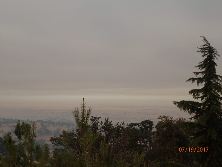
LOOKING SOUTHEAST TOWARDS MARIPOSA CALIFORNIA
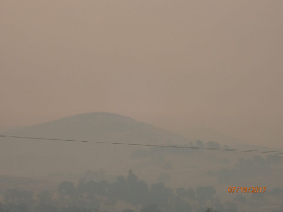
(BELOW PHOTO)
PETE KAMPA’S RECENT TRANSPARENCY AWARD
(FOR RECONFIGURATION OF OUR FORMER SURFACE WATER
TREATMENT PLANT INTO A GROUNDWATER SUBSTITUTION FACILITY FOR LAND DEVELOPERS
NOT ENTITLED TO MERCED RIVER WATER UNDER WATER LICENSE 11395?)

OK, OK….Detwiler, regardless of what the map I had said. Perhaps we’ll find out for sure today?
Woke up coughing this morning as I gave the air conditioning a break last night by leaving the windows open. Probably won’t do that again – much cooler temperature but heavy smoke in the Lake Don Pedro subdivision.
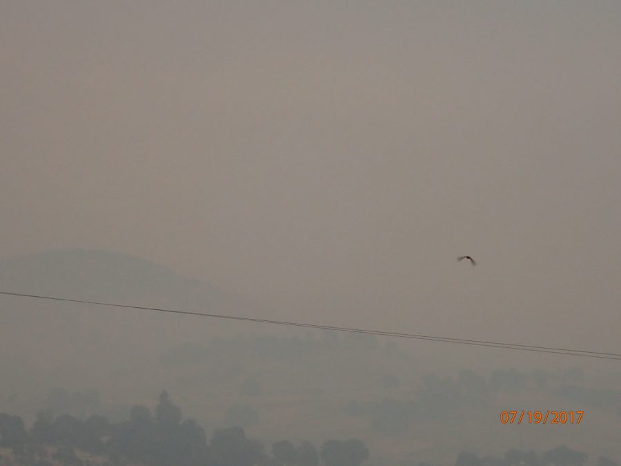
PHOTO BELOW: Looking Southeast towards the town of Mariposa approximately 25 miles away.
That’s the LAZO DRIVE hill to the left above wire, and a bird to the right which will also be subject to visual flight rules today.
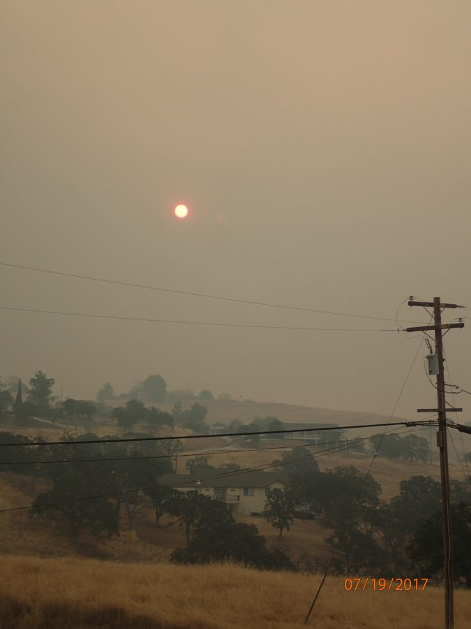
SUNUP in Lake Don Pedro.
Everyone will be carefully watching the town of Mariposa California today – when and where it can be seen.
My best to you and yours, Lew


